
Boundary Survey Services
Boundary survey services establish boundary lines based on record research and field evidence.
Services are selected based on the purpose of the work.
Core Boundary Work
Included with all boundary survey services:
Review of deeds, plats, and prior surveys
Field recovery of existing boundary evidence
Measurement and analysis of boundary lines
Evaluation of record conflicts when present
This work forms the basis of all options below.
Service Levels
Boundary Corners Only
Boundary retracement
Recovery and verification of existing corners
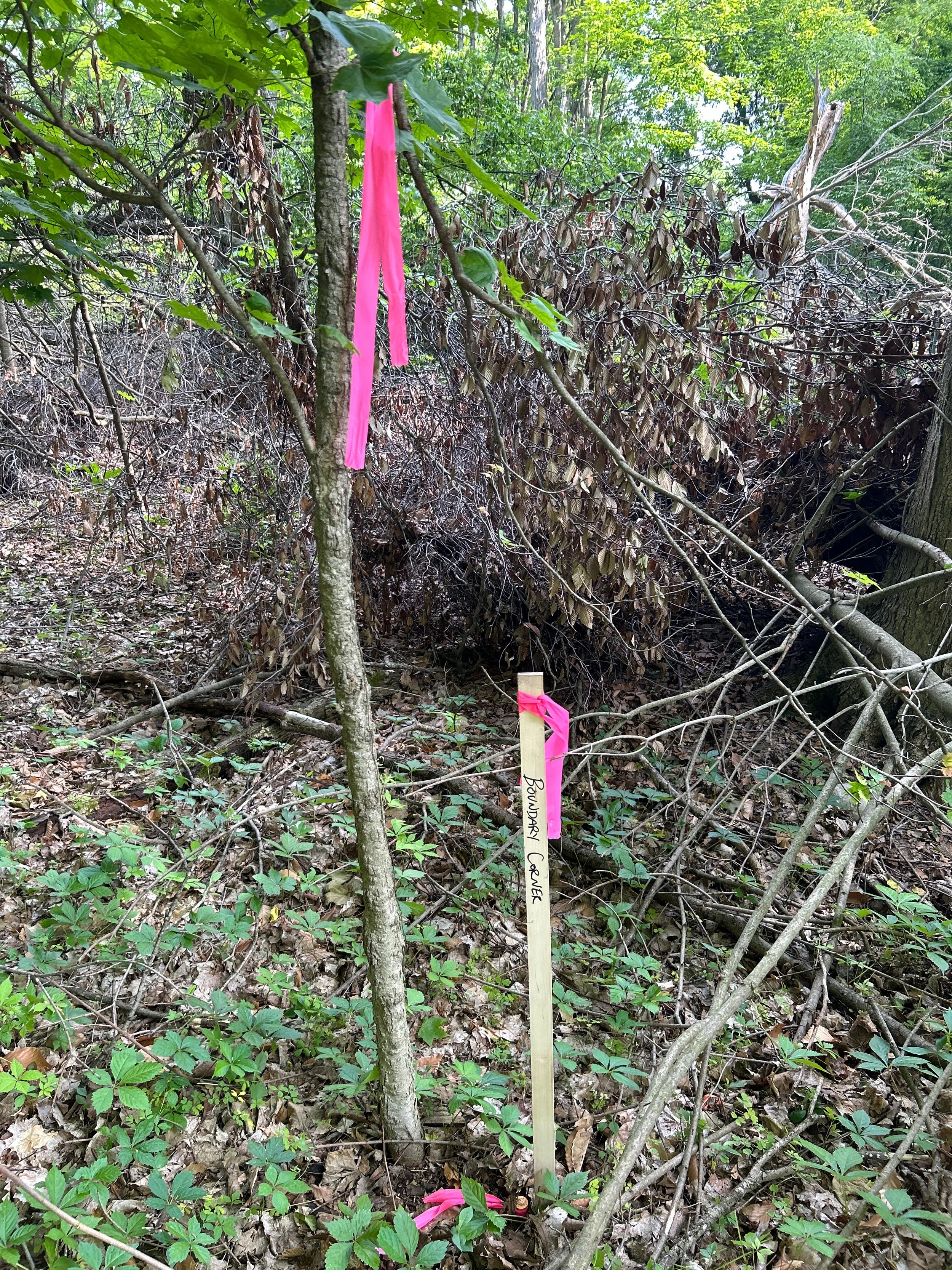
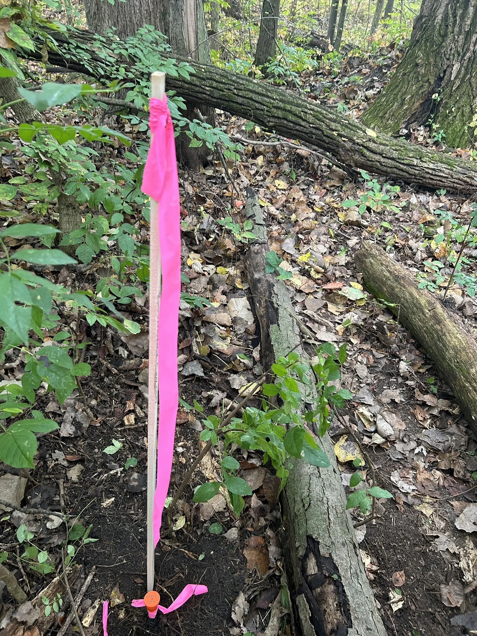
Setting missing or disturbed boundary corner monuments
Wood lath set at corners for identification
No sideline staking
No survey drawing
Used when only corner locations are needed.
Boundary Corners + Sideline Staking
All services listed above
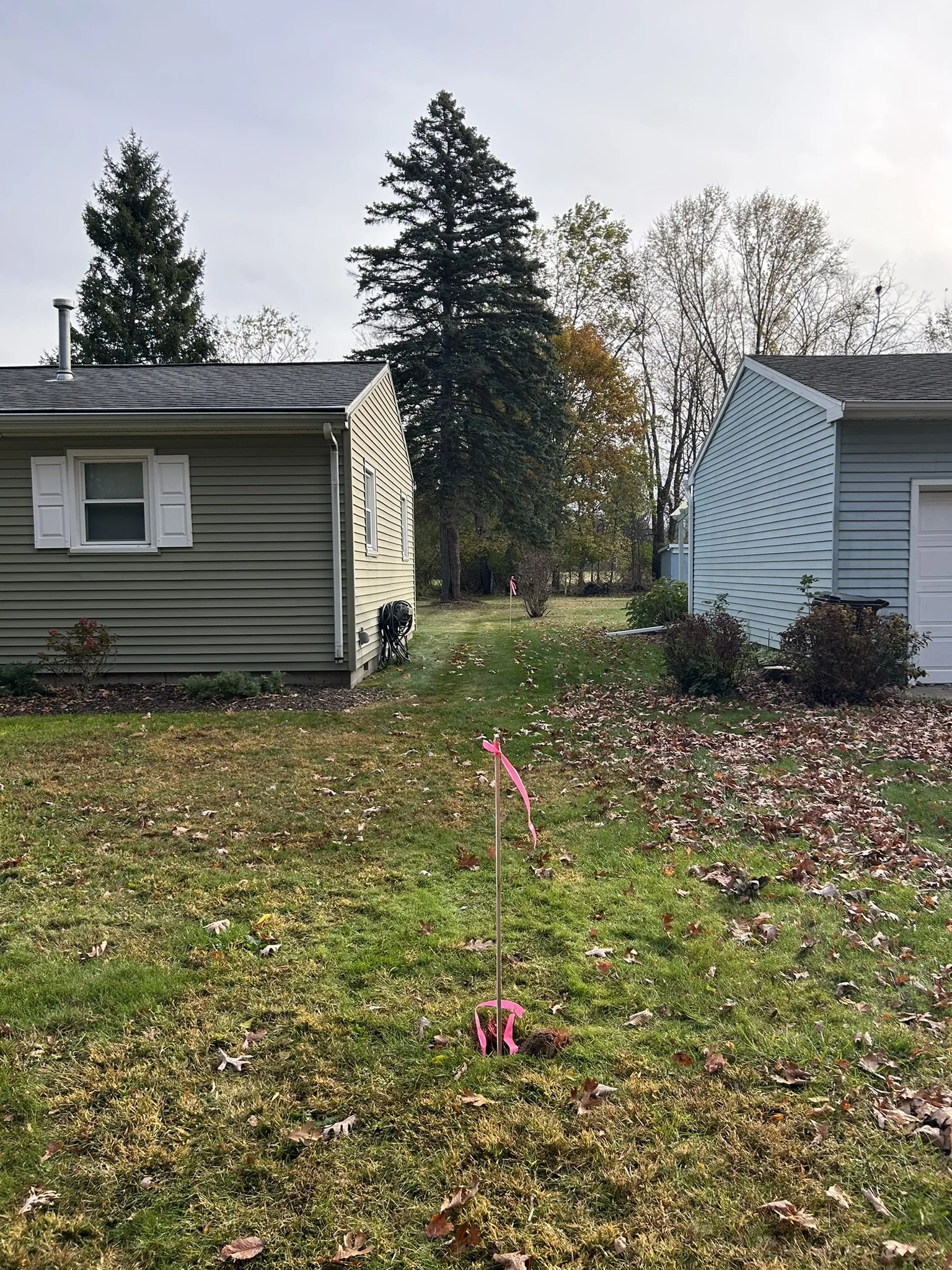
Stakes or wood lath set along boundary lines at intervals
Line visibility for fence or layout planning
No certified survey drawing
Used when line visibility is needed on the ground.
Certified Boundary Survey
All services listed above
Preparation of a signed and sealed survey drawing
Survey complies with Michigan Public Act 132 of 1970
Drawing recorded with the County Register of Deeds.
A certified boundary survey includes a signed and sealed survey drawing and is required for many permits, land divisions, and transactions.
Boundary Monumentation
5/8-inch diameter by 24-inch long rebar with plastic cap
Cap stamped with the surveyor identification number
Existing monuments are used when found in the correct position
Alternate monument types available upon request
Optional Add-Ons
Location of visible improvements
Alternate boundary markers
Additional sideline staking
Request Boundary Survey Services
Start a request for boundary survey services.
Supporting documents may be uploaded if available